We even let the wood stove burn out last night and the night before to make sure the furnace would come on and actually heat the house!
We will still use the wood stove, but if it were to go out—if we were to travel any place for a length of time — the furnace would come on keeping everything from freezing!
Another thing we have accomplished is getting the equipment moved (in case we get another fire—we had two bad ones two years ago, and a almost bad one last year. Terry is extremely nervous that we will have another fire and NOT be able to save the equipment.) We are already seeing smoke from ‘those that just must burn’, so we knew we had to get a move on.
Terry has also made another road to the ‘other’ point of entry we always seem to get fires from. So it’s been a busy few days here.
Today we will be loading and sorting the equipment we want to take to the consignment sale in Grand Junction this weekend. Busy, busy…but makes the days fly by.
– Colder-than-average temperatures are expected across the region for at least the next week.
– High temperatures are forecast to run 10 to 20 degrees below late February/early March averages.
– Actual highs will be in the 20s and 30s north and the 30s and 40s south.
– Light snow and flurries throughout the region Wednesday as a cold front pushes through.
– Accumulations of and inch or two from northern Virginia through southeast New York.
– Lake-effect snow showers and squalls are still likely from northwest Pennsylvania through western New York.
– Additional accumulations of 4 to 8 inches are possible in northwest Pennsylvania and southwest New York and 6 to 12 inches east of Lake Ontario in western New York through Thursday morning.
Midwest
– Arctic air keeps the region downright frigid for at least the next week.
– Temperatures are forecast to be 20 to 30 degrees below average through Friday.
– An even colder air mass plunges into the Plains, Mississippi Valley and western Great Lakes over the weekend with temperatures expected to be 20 to 45 degrees below average.
– Actual highs should be in the single digits, 10s and 20s from the Dakotas to Michigan and the 30s and 40s from Nebraska and Kansas to the Ohio Valley and Kentucky through Friday.
– Parts of eastern North Dakota, much of Minnesota, northern Wisconsin and northwest Michigan could remain below zero all day Thursday.
– Over the weekend highs should be in a -10 to +10 degree range in the Dakotas, Nebraska, Iowa, Minnesota, Wisconsin and north Michigan and in the 20s and 30s from Kansas to the Ohio Valley.
– Lake-effect snow showers and squalls are likely to continue across Michigan, north Indiana and northeast Ohio into the weekend.
– Additional accumulations of 4 to 10 inches are likely in favored lake-effect areas through Thursday morning.
– Elsewhere accumulations should be 2 inches or less.
West
– Two significant storms impact the region beginning Wednesday and lasting into the weekend.
– The first storm arrives in California and Oregon Wednesday and spreads into Southern California and the Intermountain West Wednesday night and Thursday.
– Storm number two arrives in California and southern Oregon Friday and spreads inland Friday night and Saturday.
– Combining both storms rainfall of 1 to 3 inches is possible over the interior and 3 to 8 inches is possible along the coastal mountains and foothills of the Sierras.
– Snowfall of several feet is likely in the Sierras when both storms are combined.
– Flooding and landslides are possible in burn areas.
South
– Rain and showers remain likely from central and southern Texas to the central and eastern Carolinas and central Florida as a cold front moves through Wednesday.
– Enough cold air plunges into the north side of the precipitation area to cause a wintry mix of rain and and sleet in central Texas and rain, sleet and wet snow from northern Georgia to northern North Carolina.
– Accumulations of sleet and snow are not expected in the lower elevations.
– Snowfall of 1 to 5 inches is possible in the Appalachians.
– High temperatures in the 30s and 40s are forecast from Oklahoma and north and central Texas to northern Georgia and the western Carolinas.
– Highs in the 50s stretch from southeast Texas to the Carolinas with warmer 70s and 80s in central and south Florida and extreme south Texas
Warmth and the touch of Spring is such a luxury! Magic thoughts Spring comes to everyone soon–including those who need spring rains!
Your friend on a farm,
Linda
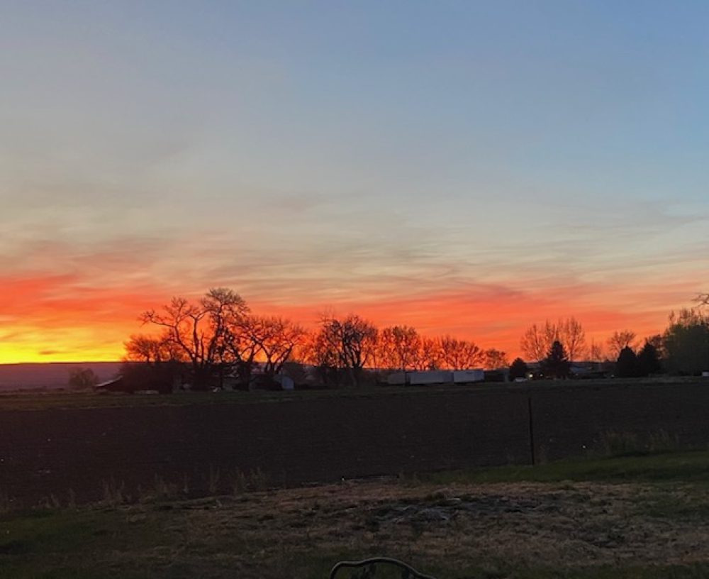


 It was at that moment I realized the sounds of the Hummingbirds had dimmed. Only six little birds were visiting the feeders. The same count this morning. The hummingbird migration has begun.


